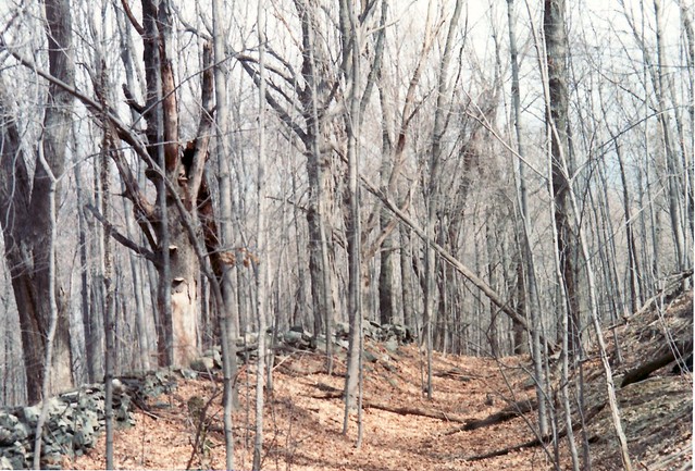
The old road was generally easy to follow, lined with stone walls and in some places large old trees as typically found on old roads in the area. It was cool to think that 100 years earlier people were using the road regularly, and it hadn’t been updated since. Toward the south end of the peninsula the road clearly came to a T as shown on the maps, with the old road now running into the water.
Looking up and down the hill near the "Big Building"
Near the end of the peninsula where the cross street goes into the water in both directions.
Home | Power Lines | Lundsbary | Site Map
Copyright 2013 by Robert Mortell